

Marine weather services needed to support the automation of maritime traffic
Marine weather services are based on expert knowledge and data collected from in-situ observations, satellites, and numerical forecast models. Producing these services is an integral part of the Finnish Meteorological Institute. In the future, the automation of shipping is expected to influence what kind of services and data are needed and furthermore, how they should be presented.
The Finnish Meteorological Institute provides observations and forecasts on oceanographic conditions to all citizens, and tailored products for example for maritime traffic. Near-real-time observations are available for the Baltic Sea, from the coastal weather stations, tide gauges and wave buoys. The safety and efficiency of wintertime navigation are supported by over one hundred years of ice reporting and charting. In addition to observation data, the forecast models describe the changes occurring in the oceanographic conditions over the coming few days and thus help prepare for challenging conditions.
The current marine observation stations and forecasting systems have been developed to describe mainly open sea conditions. The location of the observation stations or the resolution and precision of the forecast models are not adequate in all cases for describing the conditions near the coast. A lot of development is still to be done, especially to provide data and services for the fairways and ports.
Different fairways benefit from different data
The fairways along the Finnish coastline are many and varied. In the narrow fairways of the Archipelago Sea the currents can at times be strong and should be taken into consideration for the safety and efficiency of shipping. In winter, the fairways in the ice-covered regions need detailed information about the ice conditions and possible fast changes in the structure or dynamics of the ice.
In some fairways a combination of low sea level and high waves can cause difficulties for navigation. And of course in conventional piloting strong winds and waves may cause challenging situations for pilots embarking or disembarking the vessels. It is important to customise services and communicate the necessary up-to-date data in fairway and port areas, and this requires expertise from several different parties.
For automation of shipping and remote piloting, new and more wide-ranged data on the oceanographic conditions are needed, and new ways to present the data also need to be explored. One of the aims of the ISTLAB project is to study what type of oceanographic data is needed and how it should be presented in order to have the same situational awareness when remotely piloting or navigating the vessel as in real time on the bridge.
A measurement campaign to foster development of coastal forecast models
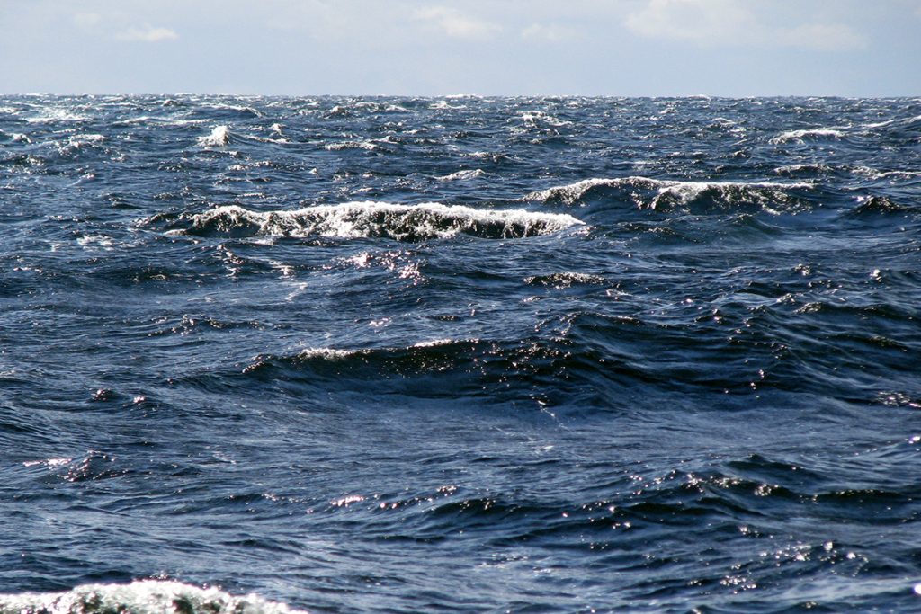
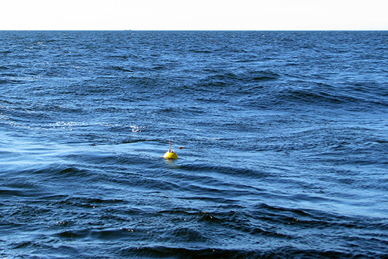
In 2020 the Finnish Meteorological Institute organised a measuring campaign off the coast of Rauma in conjunction with the ISTLAB project. Waves and currents were measured in three locations in the vicinity of the Rauma Rihtiniemi fairway. The results of the measuring campaign show that waves from westerly and north-westerly directions can be severe, also near the coast. Significant wave heights were measured during the campaign – 5.5 metres at the outermost observation point, and almost 3.5 metres at the wave buoy closer to the coast.
Relatively strong currents were also observed in the fairway from time to time. Severe conditions often catch the researcher’s eye and thus were the initial focus in interpreting the results. Discussions with local operators gave an increased understanding of the conditions, which may not have seemed significant where the measurements were concerned, but which in practise can affect piloting or navigating the vessel. Local knowledge and understanding of conditions that are challenging for the maritime traffic in each of the fairways are extremely important when considering future services.
The results from the measurement campaign and from the wave model setup developed with the aid of the collected data will be used in the ISTLAB remote piloting tests. One aim is to study how different conditions affect remote piloting, and what kind of data pilots need when they only have remote communication with the vessel. Different situations have been selected for the tests – strong winds, waves, and currents – that are considered to be challenging for marine traffic in the Rauma Rihtiniemi fairway. The measurement campaign has made available a great deal more data on oceanographic conditions, whereby the results can be utilised when evaluating what type of observation network will be needed in the fairways and ports in future.
The research work in the ISTLAB project has been interesting. I have found it extremely beneficial to discuss and plan things together with many experts in the maritime sector. It has provided more knowledge, understanding and expertise on the kind of research and development needed in future, in order to produce services and information on conditions that will benefit seafarers.
Laura Tuomi
Head of Group, Operational Oceanography
Finnish Meteorological Institute